Overview Of The Plan
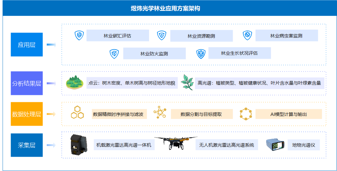
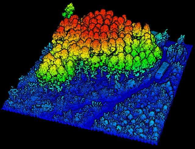
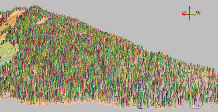
Yuwei Optics has injected strong technological power into forestry surveying and mapping applications through the deep integration of self-developed LiDAR and hyperspectral technology. Our system is capable of achieving high precision in forest areas. Efficient 3D scanning enables precise collection and analysis of key data such as forest distribution, crown height, and crown area. The application of this plan not only realizes the digital and clean map drawing of forest areas, real-time monitoring of forest growth status, but also provides diversified functions such as forest stand structure analysis, disease and pest warning, and forest health assessment.
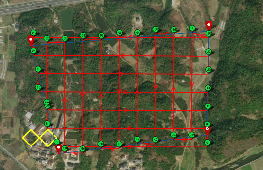
Application Scenarios
Paired with different hardware and software products, it can detect and measure multiple scenarios
-
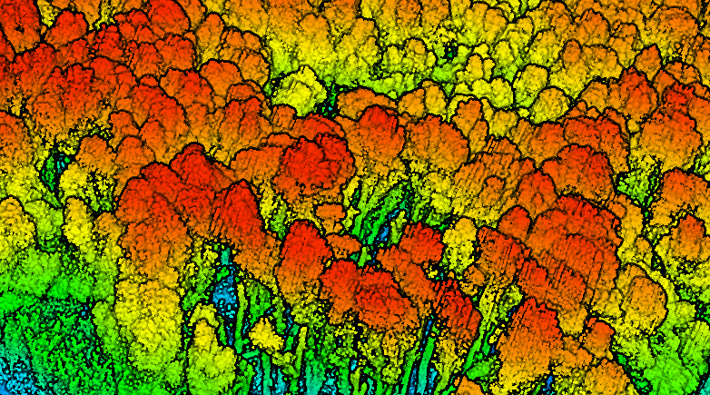
林业生产长状况评估
对森林资源进行定期或不定期的观测、调查、评估和预测,以获取森林资源数量、质量、分布和动态变化等信息。
-
林业防火监测
对森林火灾的预防和监控,及时发现火情、科学扑救森林火灾,以减少火灾对森林资源和生态环境的破坏。
-
林业病虫害监测
在植物的整个生长发育周期内,我们可对其所遭受的有害生物侵袭及不良环境条件的影响进行全面、系统的观察与深入的评估。
-
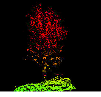
林业树木资源调查
对林业树木资源进行调查。为制定林业政策、规划林业发展、调整经营策略提供科学依据。
-
林业碳汇评估
通过测量树木的生物量、分析土壤中的有机碳含量等手段,估算出森林的碳储量和碳吸收速率,能更好地了解森林生态系统的碳循环过程。
Scheme Architecture
Advantages Of The Plan