
Software Services
Committed to becoming a global leader in intelligent optical sensing technology
-
LMP
LiDAR Management Platform
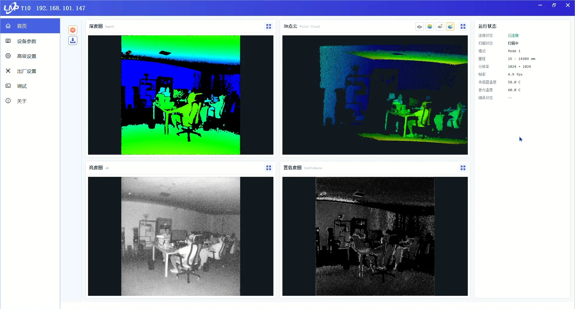
LiDAR Management Platform (LMP) is the management platform for testing all company products and systems. Key functions include:
- 1. Supports simultaneous connection of multiple devices;
- 2. View scan results in real time with zoom, rotate, and other operations;
- 3. Supports multiple alert zones of arbitrary shapes;
- 4. Read and configure scan rate, angular resolution, scan angle, and other settings;
- 5. View runtime status (received frames, network throughput, nearest/farthest measurements), etc.;
- 6. Supports multiple users with role-based permissions.
-
KMeta
3D Data Pre-Processing Software
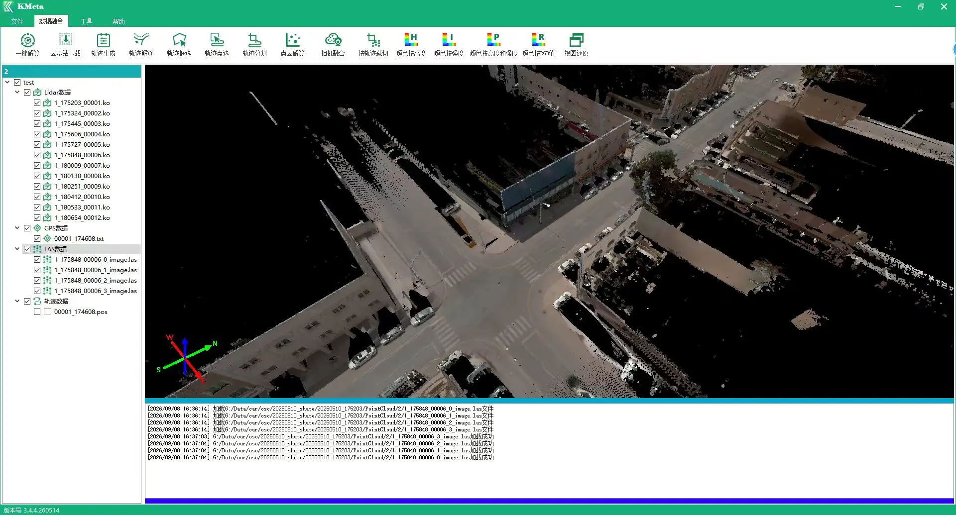
KMeta is a comprehensive data pre-processing software. Key functions include:
- 1. Supports simultaneous connection of multiple devices;
- 2. View scan results in real time with zoom, rotate, and other operations;
- 3. Supports multiple alert zones of arbitrary shapes;
- 4. Read and configure scan rate, angular resolution, scan angle, and other settings;
- 5. View runtime status (received frames, network throughput, nearest/farthest measurements), etc.;
- 6. Supports multiple users with role-based permissions.
-
KData
Vehicle-Mounted Data Acquisition Software
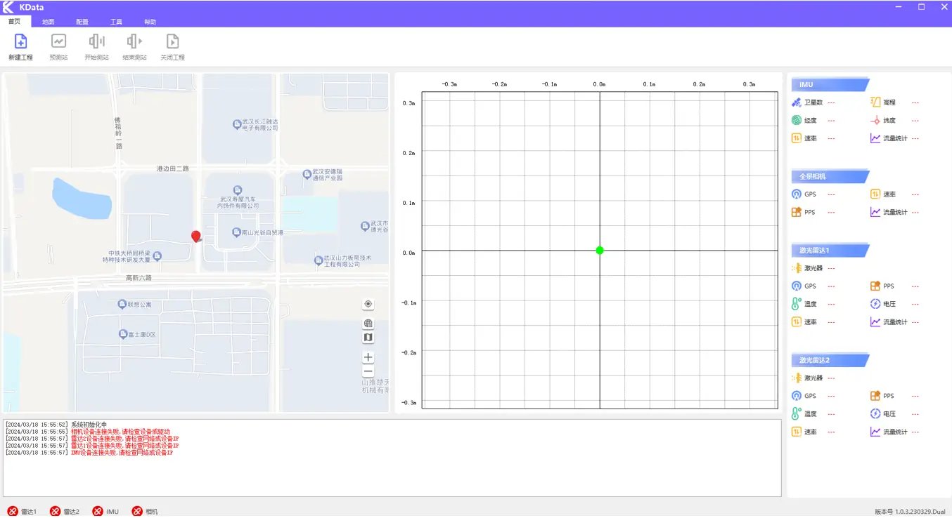
KData is the vehicle-mounted field acquisition system, covering online capture and maps.It records LiDAR, IMU, and camera data, with route planning and real-time navigation.
-
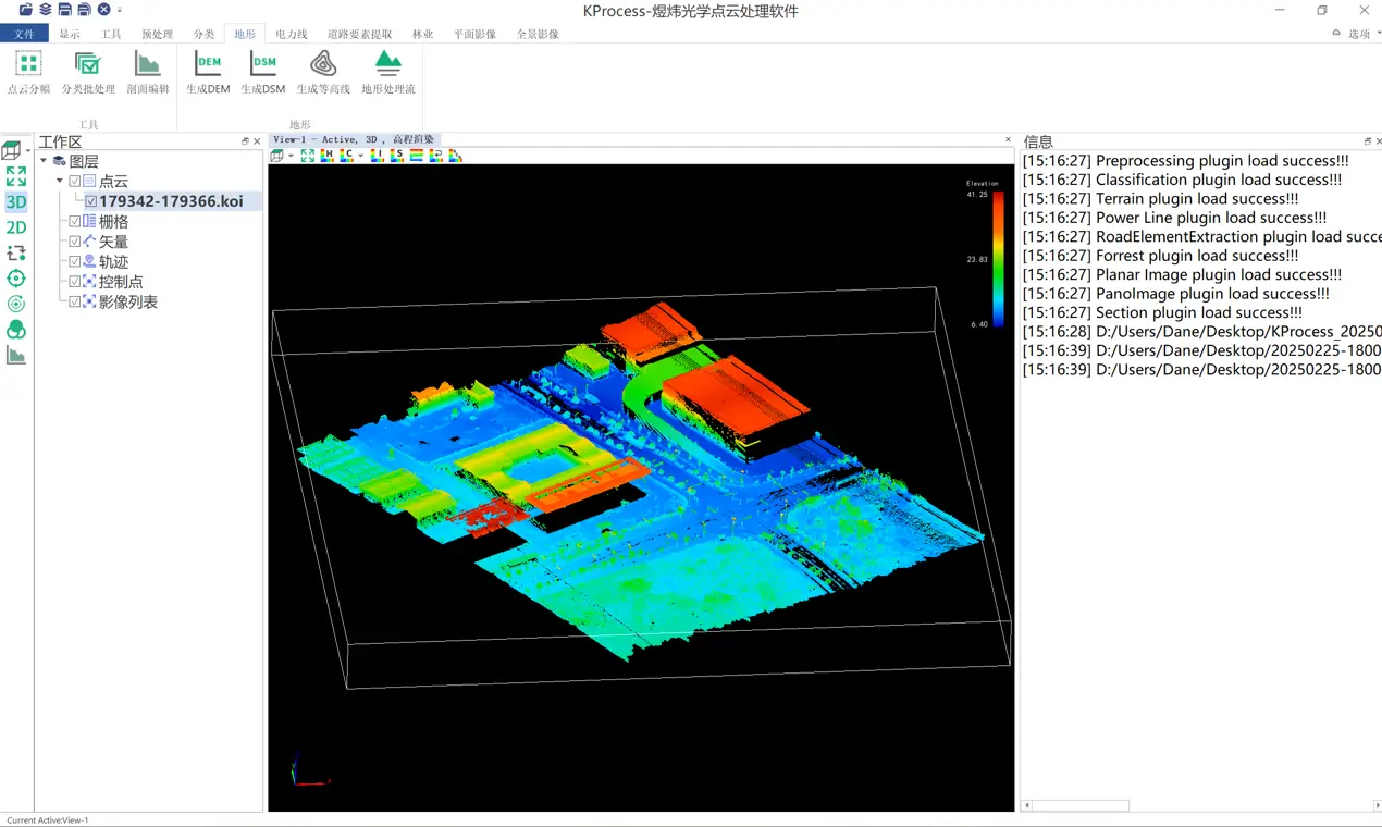
KProcess
3D Data Post-Processing Software
KProcess is a comprehensive data post-processing software. Key functions include:
- 1. Fast browsing and editing of 3D point cloud data.
- 2. Browse and display vector, trajectory, orthophoto, and related data.
- 3. Measure, query, clip, and convert point cloud formats.
- 4. Basic point cloud pre-processing including calibration, strip adjustment, and trajectory correction.
- 5. Classify airborne point clouds: low points, ground, above-ground, buildings, etc.
- 6. Generate terrain products including DEM and DSM.
- 7. Power-line plugin for processing industry point cloud data and generating analysis reports.