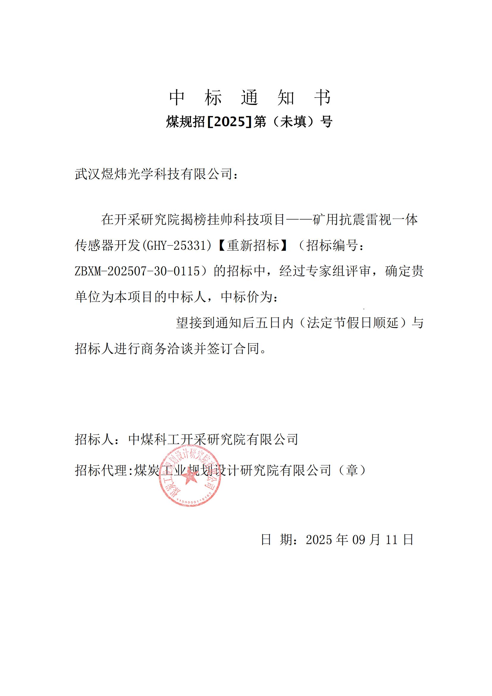
Recently, leveraging deep technical accumulation and product reliability, Kyle Optics won the bid for CCTEG Coal Mining Research Institute's first 'Open Competition' sci-tech project — 'Mining Shock-Resistant LiDAR-Vision All-in-One Sensor'. This marks both strong recognition of Kyle Optics' technical strength and a key milestone in smart mining.
Kyle Optics in Smart Mining: Building a Full-Coverage Surface & Underground Sensing Foundation
With core IP across LiDAR, machine vision, and optical system design, Kyle Optics is a vital driver in building digital 'Transparent Mines', integrating advanced optical sensing into every stage of mining production for safe, efficient, and unmanned operations.
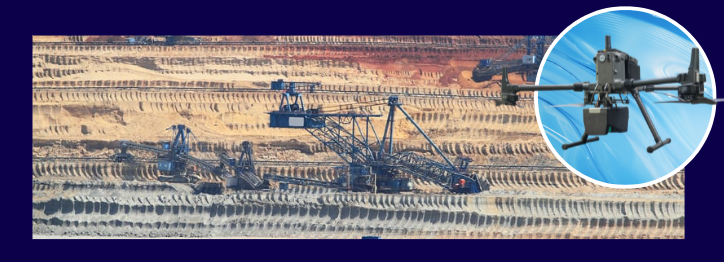
Mining Excavation Volume Monitoring
Full-Mine Scanning: Periodically scans overall terrain to generate 3D point clouds and track macro-level changes;
Key Zone Monitoring : Conducts high-precision aerial surveys of active mining faces with real-time system uploads;
Intelligent Analytics: Automatically analyzes excavation progress, ore reserves, and equipment distribution on the smart mine platform.
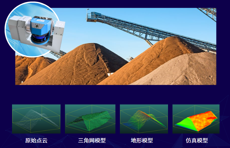
Smart Mine Stockpile Inventory
3D LiDAR point cloud scanning accurately measures ore stockpiles, boosting inventory efficiency, reducing labor costs, and preventing measurement errors.
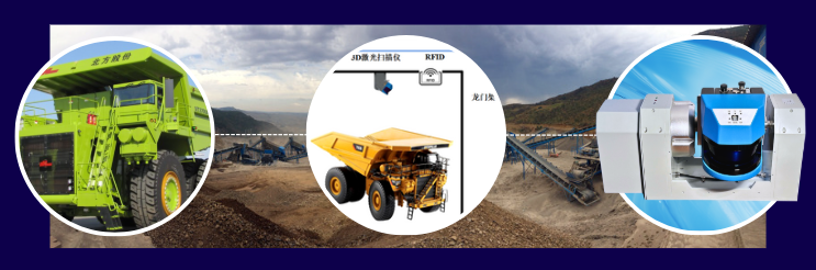
Mining Truck Payload Volume Measurement
Uses LiDAR and cameras to accurately measure and position mining trucks, ensuring safe, accurate, and rapid loading.
Mine Car Obstacle Avoidance
Forward-mounted LiDAR sensors on rail mine cars detect preceding vehicles and obstacles in real time to trigger braking or collision warnings.
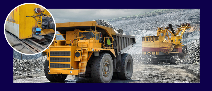
Mine Railway Inspection & Wagon Detection
Significantly improves inspection efficiency and operational safety across mine railways while lowering manual inspection costs.
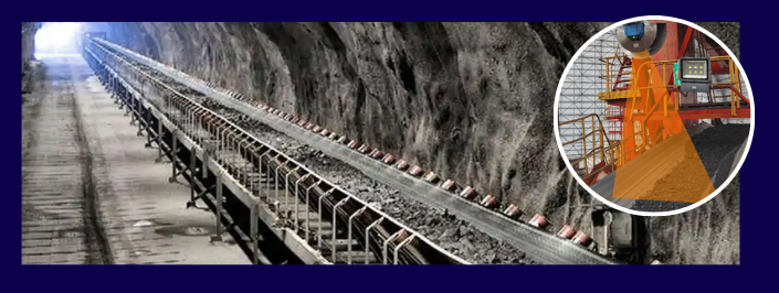
Ore Conveyor Belt Inspection
LiDAR mounted above conveyor transfer points detects material presence and calculates volumetric flow to maintain efficient belt capacity.
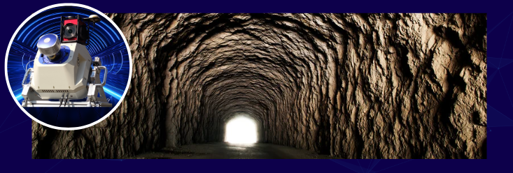
Mine Tunnel Inspection
3D LiDAR point clouds capture mine tunnel deformation, cross-sectional dimensions, and rock strata data for real-time hazard warning, replacing high-risk manual surveying.